
Tropical storm approaching Marianas
-
Category
-
Submitted By
-
09Oct, 2023
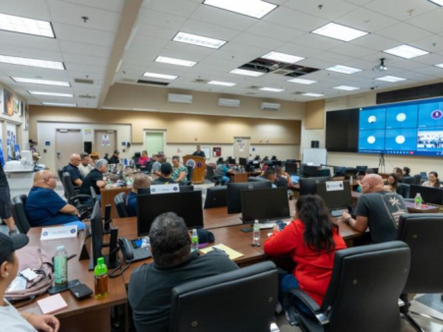
GOVERNOR Arnold I. Palacios on Sunday declared Typhoon Condition III for Saipan, Tinian, and Rota.
Typhoon Condition III means that damaging winds of 39 mph or greater are possible beginning Tuesday morning, and typhoon force winds of 74 mph or greater are possible Tuesday afternoon or evening.
As of 7 p.m. Sunday, based on information received from the National Weather Service in Tiyan, Guam, Tropical Storm Bolaven was about 575 miles southeast of Saipan and about 565 miles east-southeast of Guam with maximum sustained winds of 45 mph. It was headed west at 8 mph.
Bolaven was expected to make a slight turn toward the west-northwest with a slight increase in forward speed through Monday evening.
As of late Sunday afternoon, some businesses and homes on Saipan had already put up their typhoon shutters.
CNMI residents are urged to take the following preparatory measures:
• Fuel up your gas vehicles and generators.
• Secure loose debris and belongings around your household or yard.
• Those living in flood-prone areas should clear drainage areas and unblock storm drains to minimize flooding.
• Secure important documents such as birth certificates, tax papers, and insurance documents, and keep copies in a weather-proof bag.
• Prepare to board up windows or close shutters.
• Keep an emergency preparedness kit in your household, including first-aid kits, batteries, flashlights, toiletries, and a portable stove
• Stock up on food and water, as appropriate, for your household.
• Stay up to date with the latest information from the National Weather Service and the CNMI Office of Homeland Security and Emergency Management and other official sources.
Flood watch
A flood watch is also in effect for Saipan, Tinian, and Rota.
“As the storm gets closer, showers are expected to increase significantly. The latest model guidance indicates rainfall potential of 6 to 10 inches, with locally heavier amounts in excess of 12 inches possible. This would result in extensive flash flooding across the islands,” HSEM said.
For more information, call the CNMI Emergency Operations Center State Warning Point at (670) 237-8000 or (670) 664-8000. For those in the Northern Islands, contact the CNMI EOC State Warning Point at high frequency single side band radio on frequency 5.205.0.
[Submitted by Robert Mendiola]
About This Member